
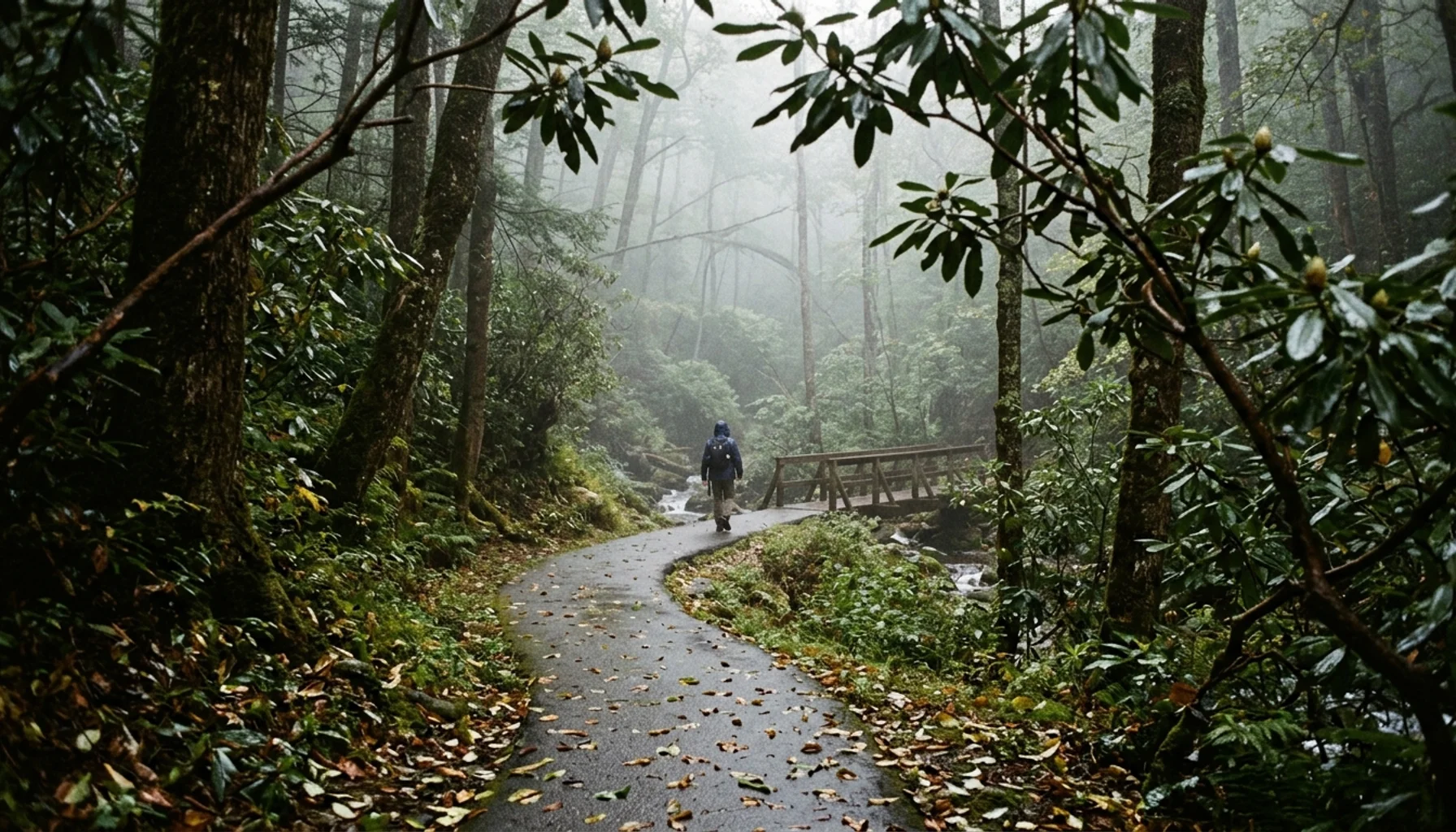
The best hikes near Gatlinburg start with Cataract Falls (about 1 mile round trip) for easy walks, Laurel Falls (2.4 miles, paved) for a classic waterfall, Alum Cave Bluffs (roughly 4.4 to 5 miles) for the best moderate-to-strenuous view, and Rainbow Falls (about 5.4 miles) for a hard day with a big payoff. We rank every trail below by grade, climb, terrain, and what you see at the top.
Key Takeaways
- Easiest hikes near Gatlinburg: Cataract Falls (about 1 mile round trip), Gatlinburg Trail (3.8 miles round trip, dog-friendly), and Twin Creeks Trail (about 4.5 miles round trip).
- Laurel Falls is paved and roughly 2.4 miles round trip with about 400 feet of climb, so arrive early morning or late afternoon to beat the crowds.
- Hardest hikes: Rainbow Falls (5.4 to 5.5 miles, 1,500 to 1,600 feet of gain), Chimney Tops (more than 1,400 feet of gain in a short distance), and Ramsey Cascades (8 miles, over 2,000 feet).
- Great Smoky Mountains National Park has no entrance fee, but vehicles parked longer than 15 minutes need a parking tag.
- Published mileage for the same trail often differs because sources mix one-way and round-trip figures, so check the National Park Service before you go.
- Bear Crest Cabins runs six pet-friendly, hot-tub cabins around Gatlinburg, Pigeon Forge, and Sevierville, so tired legs have somewhere good to land.
Gatlinburg sits at the doorway of the most-visited national park in the country. Great Smoky Mountains National Park recorded approximately 12.2 million visits in 2026, according to the National Park Service. In 2026 that volume still shapes every hiking decision you make, from which trailhead you pick to what time you leave the cabin.
Most trail lists give you a name, a mileage, and a vague difficulty label. This guide ranks each hike from easiest to hardest, explains why published numbers conflict, and adds the practical details that get skipped: parking tags, crowd timing, dog rules, and where to rest afterward. We are a family-run collection of six cabins, and our guests ask us about these trails in nearly every pre-trip message.
How Are Hikes Near Gatlinburg Ranked Here?
A hike difficulty ranking is an ordering of trails by how hard they are on your body, not by how famous they are. Here, each trail is scored on grade, total elevation gain, terrain (paved, rocky, root-covered), exposure, and the view at the end. Mileage alone misleads: Chimney Tops is short but one of the steepest climbs in the park.
Why do sources disagree on distance? Specifically, Gatlinburg Trail is about 1.9 miles one way between Sugarlands Visitor Center and downtown Gatlinburg, which makes 3.8 miles round trip, yet some pages list the one-way number as the full hike. Grotto Falls appears as 1.6 miles in one guide and 2.6 miles round trip in another. Laurel Falls shows up as both 2.4 and 2.6 miles.
Our rule of thumb: when two numbers differ by about a mile, one source is probably listing a different trailhead or counting one way. Confirm on the Great Smoky Mountains National Park things-to-do pages before you commit a day to a hike, and treat every figure in this guide as approximate.
Which Easy Hikes Work for Kids and Grandparents?
Easy hikes near Gatlinburg are low-grade trails under about 5 miles round trip that need no special fitness. Cataract Falls, Gatlinburg Trail, and Twin Creeks Trail all qualify. These are the best hikes near Gatlinburg when your group includes toddlers, grandparents, or anyone who would rather finish before lunch.
Cataract Falls Trail: about 1 mile round trip
This wide, mostly flat path starts behind Sugarlands Visitor Center and follows Fighting Creek to a small cascade. It is the easiest payoff in the area, suitable for strollers on the early stretch. The caveat: the falls are modest, and the trail is busy on summer afternoons. Go in the morning.
Gatlinburg Trail: 3.8 miles round trip, dogs allowed
The Gatlinburg Trail follows the West Prong of the Little Pigeon River between Sugarlands and the edge of town. It is one of the few park trails where dogs are welcome on a leash, per the Gatlinburg.com pet-friendly guide. You can walk it one way and arrange a ride back. There is no big view, just river sound and shade.
Twin Creeks Trail: about 4.5 miles round trip
Published figures run from 4.5 to 4.8 miles. The creekside route is shaded and feels secluded for how close it sits to downtown, which makes it a good lesser-known pick on a crowded weekend.
For grandparents who want a bed with no stairs, Serenity View is a single-level cabin, though it sits in Pigeon Forge and runs about 30 minutes to Gatlinburg. If trailheads near town matter more, stay closer in.
Which Waterfall Hikes Are Worth the Effort?
A Smokies waterfall hike is a trail whose main reward is a named cascade, with difficulty ranging from paved and short to steep and all-day. Laurel Falls, Grotto Falls, Rainbow Falls, and Ramsey Cascades are the four to know, listed here from easiest to hardest.
Laurel Falls: about 2.4 miles round trip, paved, moderate
Laurel Falls is one of the most photographed waterfalls in the Smokies, an 80-foot cascade split into upper and lower sections. The paved trail gains about 400 feet. It is also one of the most crowded, so go early morning or late afternoon. Pavement does not mean flat, and the final stretch has drop-offs, so keep kids close.
Grotto Falls via Trillium Gap: about 2.6 miles round trip, moderate
You reach this hike from the Roaring Fork Motor Nature Trail, a 5.5-mile one-way loop road. The path climbs through hemlock forest to a 25-foot waterfall, and you can walk behind the water curtain. Check the park for current road status before driving the loop, since seasonal closures happen. Expect wet rocks and slick footing behind the falls.
Rainbow Falls: 5.4 to 5.5 miles round trip, hard
Rainbow Falls climbs roughly 1,500 to 1,600 feet over rocky, root-covered terrain to an 80-foot waterfall. Gatlinburg.com estimates 3 to 5 hours. Skip it with small kids, or if rain has fallen in the last day, because the footing turns treacherous. Push on past the falls toward Mount LeConte and the day can stretch to as much as 13 miles.
Ramsey Cascades: 8 miles round trip, hard
The 100-foot cascade is described as the tallest waterfall in the park, set in old-growth forest. The price is more than 2,000 feet of climbing. Start early and carry more water than you think you need.
After a day like Rainbow Falls, the cedar sauna at Bear Cub Chalet is hard to beat. The cabin is about 5 minutes from downtown Gatlinburg and has a private hot tub too. One guest wrote, “We took full advantage of the hot tub that overlooks the mountains. It was nice to just chill out with our family.” (Jim, April ’26)
What Are the Best Hikes for Mountain Views?
A view hike in the Smokies is a trail that ends at an open bald, bluff, or rock outcrop rather than a creek. These routes cost more effort per mile, and clear days matter. Alum Cave Bluffs, Andrews Bald, Chimney Tops, and Charlies Bunion deliver the strongest panoramas.
Andrews Bald: 3.6 miles round trip, moderate
Andrews Bald is the highest bald in the park. You hike 1.8 miles one way from the Clingmans Dome parking area, descending first through spruce-fir forest and then climbing back to open grass. The trailhead sits above 6,000 feet, so it runs cooler than Gatlinburg, even in summer. Check the Clingmans Dome official page for seasonal road closures.
Alum Cave Bluffs: about 4.4 to 5 miles round trip, moderate to strenuous
This is our pick for the best all-around view hike. The Gatlinburg tourism blog lists 2.3 miles one way and a 1,125-foot climb, with dramatic rock overhangs and sweeping ridgeline views. Parking at the trailhead fills early. Arrive before mid-morning, or plan a weekday.
Chimney Tops: about 3.6 miles round trip, hard
Published figures show more than 1,400 feet of climb packed into less than two miles, making it among the steepest hikes in the park. The viewpoint looks toward Mount LeConte and the surrounding peaks. Distances quoted online vary by which section is open, so verify current access with the park before you drive out.
Charlies Bunion: 8.1 to 8.6 miles round trip, hard
The route leaves Newfound Gap and follows the Appalachian Trail along a ridge to a rock outcrop, with about 1,500 feet of gain. Views stretch across both Tennessee and North Carolina. It is a full day, not a casual outing.
Is Newfound Gap Worth the Drive?
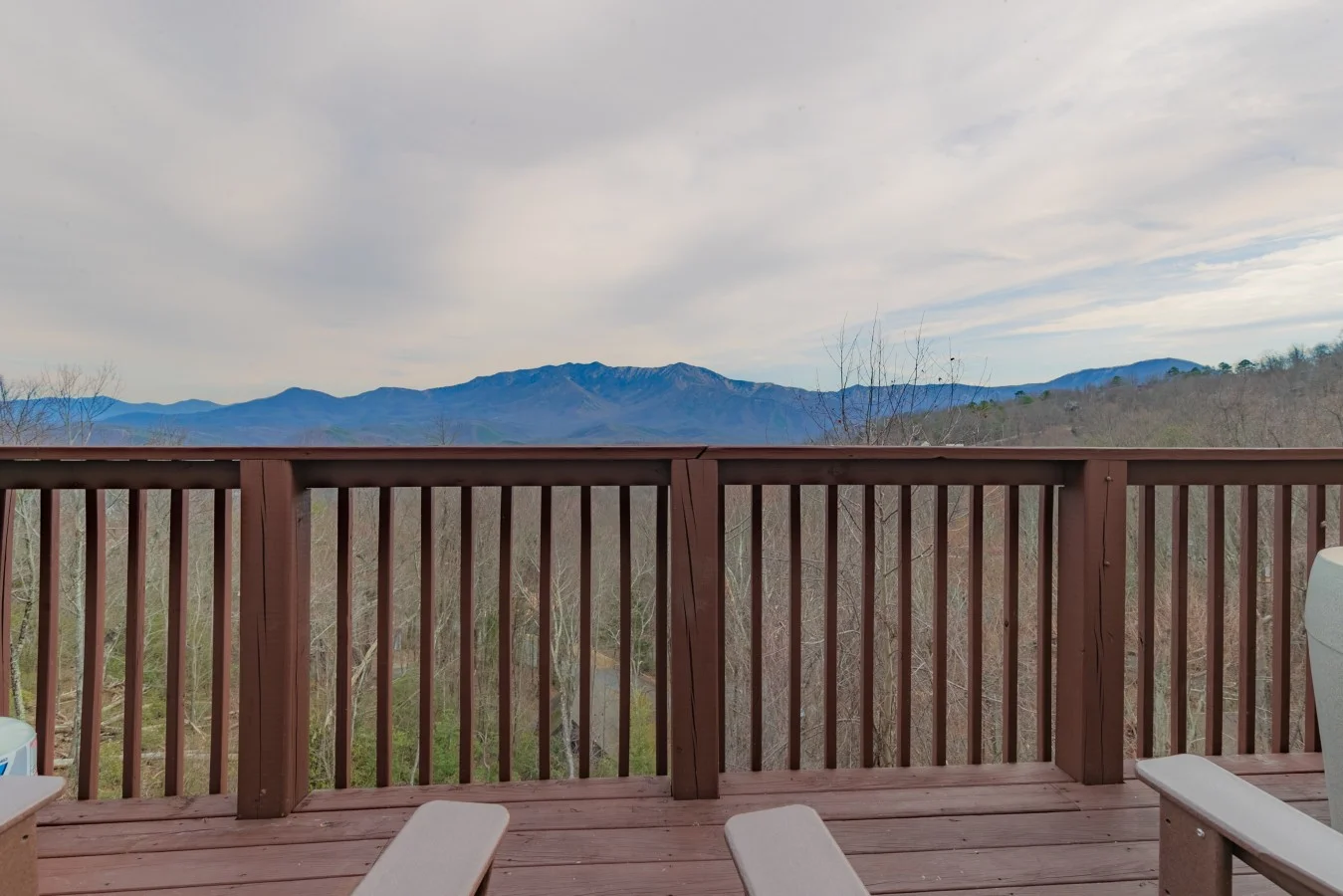
Newfound Gap is a high-elevation pass on Newfound Gap Road that crosses the Tennessee and North Carolina line and serves as the trailhead for the Appalachian Trail route to Charlies Bunion. Yes, it is worth the drive for the overlook alone, even if you never lace up boots.
Be honest about the tradeoffs. The parking area is popular, the temperature can run noticeably colder than in town, and fog can erase the view. Bring a layer, even in July. If you want a short stop instead of a full hike, pull over, walk the overlook, and keep going.
Pair it with a scenic loop. Our guide to the best day trips from Gatlinburg shows how to combine a high-country drive with food stops.
How Do These Trails Compare Side by Side?
The table below ranks each trail from easiest to hardest using the figures cited above. Mileage and gain are approximate and vary by source, so treat them as planning estimates and confirm with the National Park Service.
| Trail | Round trip | Difficulty | View payoff |
|---|---|---|---|
| Cataract Falls | About 1 mile | Easy | Small cascade on Fighting Creek |
| Gatlinburg Trail | 3.8 miles | Easy | River scenery, dogs allowed |
| Twin Creeks Trail | About 4.5 miles | Easy | Shaded creek and quiet |
| Laurel Falls | About 2.4 miles | Moderate (paved) | 80-foot two-tier waterfall |
| Grotto Falls | About 2.6 miles | Moderate | Walk behind a 25-foot waterfall |
| Andrews Bald | 3.6 miles | Moderate | Highest grassy bald in the park |
| Alum Cave Bluffs | 4.4 to 5 miles | Moderate to strenuous | Rock bluffs and ridgeline views |
| Rainbow Falls | 5.4 to 5.5 miles | Hard | 80-foot single-drop falls |
| Chimney Tops | About 3.6 miles | Hard | Vantage toward Mount LeConte |
| Charlies Bunion | 8.1 to 8.6 miles | Hard | Tennessee and North Carolina panorama |
| Ramsey Cascades | 8 miles | Hard | 100-foot cascade, tallest in the park |
Do You Need a Parking Pass to Hike Near Gatlinburg?
A Great Smoky Mountains parking tag is a required permit for any vehicle parked in the park longer than 15 minutes. The park charges no entrance fee, but a hike always takes longer than 15 minutes, so plan to buy a tag before you reach the trailhead.
Current prices and sales locations change, so use the official parking tag and fees page rather than a blog quote. You can also buy through Recreation.gov. Buy the tag the night before, because cell service fades fast on park roads.
Parking logistics matter just as much as the tag. Laurel Falls and Alum Cave lots can fill by mid-morning in peak season. Arriving early solves most of it, and so does staying close. Guests at Heavenly View sit about 5 minutes from downtown Gatlinburg, and Laurel Falls Trail and Cataract Falls Trail are both on that cabin’s nearby list.
What Are the Worst Times to Hike Near Gatlinburg?
The worst times to hike near Gatlinburg are summer weekends, peak fall-color weekends in October, and holiday weekends, when trailhead lots fill and popular paths like Laurel Falls get crowded. With about 12.2 million park visits in 2026, per the National Park Service, midday on a holiday is the least pleasant slot.
Winter brings a different problem. Mountain roads can ice over, and we recommend AWD or 4×4 at our steeper cabins from roughly December 15 through February 15. Higher routes like Andrews Bald may also face seasonal road closures, so check park alerts first.
Your best windows: weekday mornings, shoulder-season weeks in spring and early fall, and the last two hours before sunset on easy trails. Our Gatlinburg itinerary with trails, food, and real downtime lays out a pace that avoids the rush.
What Are the Hidden Gems Among Gatlinburg Hikes?
A hidden-gem hike is a trail that rarely makes the first page of a tourist list but delivers real payoff with fewer people. Twin Creeks Trail and Baskins Creek Falls fit best, and we say that knowing neither is a secret to everyone.
Twin Creeks is shaded, quiet, and close to town. One local guide lists Baskins Creek Falls at about 2.9 miles round trip with a secluded 35-foot waterfall. Trail conditions there can be rougher than the headline suggests, so wear real shoes.
Do not call Laurel Falls or Alum Cave hidden. Both are famous for good reason. If you want a quieter hike after a morning on the trail, our things to do in Gatlinburg beyond the tourist trap list covers the rest.
Which Hikes Work if You Bring the Dog?
Dog-friendly hiking near Gatlinburg is limited because most Smokies trails prohibit dogs. The Gatlinburg Trail is the standard answer, at 3.8 miles round trip along the river on a leash. Confirm current rules with the park before you go.
All six of our cabins welcome dogs. The flat pet fee is $75 total for up to two dogs at most of them, while Summit Up lists a range of $75 to $85, so check the listing. A sensible plan: Gatlinburg Trail in the morning, a long rest at the cabin, and the human-only hikes on a day when the dog stays behind.
Bring water, a bowl, and bags. Two honest notes: our yards are unfenced except at Serenity View, and at Honey Bear the backyard has a steep grade.
Where Should You Stay After a Day on the Trail?
The right base depends on your group, since cabin location changes your drive and your road. Bear Crest Cabins has six family-run cabins across Gatlinburg, Pigeon Forge, and Sevierville, each with a private hot tub and pet-friendly rules. We have 1,000+ five-star reviews and Superhost status, and we read every one.
- Bear Cub Chalet: about 5 minutes from downtown Gatlinburg, with a cedar sauna. The last 100 yards of road are narrow, so you need comfort with mountain driving.
- Heavenly View: unobstructed views and about 5 minutes to downtown. The approach has a steep quarter-mile road and one switchback. As one guest put it, “Do not miss sunrise in the hot tub.”
- Smoky Mountain Escape: sleeps 10 on easy paved resort roads about 5 minutes from Gatlinburg. It suits reunions and multi-family hiking trips, though it has no sweeping views.
Browse our six pet-friendly cabins at bearcrestcabins.com, and book direct for the lowest price and no platform fees. For after-hike dinners, our best restaurants in Gatlinburg picks save you the guesswork.
What Mistakes Should You Avoid on Smokies Trails?
The most common trail mistake is choosing by mileage alone. A 3.6-mile hike with 1,400 feet of gain is harder than a flat 5-mile walk. Check the climb, then the surface, then the weather.
- Buy your parking tag before arrival.
- Start early, ideally before 9 a.m. at popular trailheads.
- Carry more water than the trail length suggests, plus a rain layer.
- Check park alerts for closures and road status the morning you go.
- Stay back from drop-offs, and keep your distance from wildlife.
Black bears are common around our cabins, particularly in late spring and summer. Keep food inside and car windows up, and enjoy sightings from a distance.
Frequently Asked Questions
What are the easiest hikes in Great Smoky Mountains National Park near Gatlinburg?
Cataract Falls (about 1 mile round trip), Gatlinburg Trail (3.8 miles round trip), and Twin Creeks Trail (about 4.5 miles round trip) are the easiest. All three are low-grade and shaded, and all start close to Sugarlands Visitor Center or town.
What are the best family-friendly hikes near Gatlinburg?
Cataract Falls suits small kids, and Laurel Falls works for school-age kids who can handle about 2.4 miles and roughly 400 feet of paved climbing. Go early, and keep children close near the drop-offs at Laurel Falls.
What waterfalls can you hike to near Gatlinburg?
Popular options are Cataract Falls, Laurel Falls, Grotto Falls, Rainbow Falls, and Ramsey Cascades. They run from about 1 mile round trip up to 8 miles, with the 100-foot Ramsey Cascades the tallest in the park.
How long is the Gatlinburg Trail round trip?
The Gatlinburg Trail is about 1.9 miles one way between Sugarlands Visitor Center and downtown Gatlinburg, so roughly 3.8 miles round trip. Some pages list only the one-way distance, which causes the confusion.
Can I bring my dog hiking near Gatlinburg?
Most Smokies trails prohibit dogs, but the Gatlinburg Trail is a leashed exception. All six Bear Crest Cabins welcome dogs, with a flat fee that is $75 total for up to two dogs at most cabins. Check Summit Up’s listing, which gives a range.
Where should you stay for hiking near Gatlinburg?
Bear Crest Cabins is a family-run collection of six pet-friendly cabins with private hot tubs around Gatlinburg, Pigeon Forge, and Sevierville. Heavenly View and Bear Cub Chalet each sit about 5 minutes from downtown Gatlinburg. Compare road access and sleeping layout against your group before choosing.
Which Trail Should You Hike First in 2026?
For the best hikes near Gatlinburg, match the trail to your legs. Start with Cataract Falls or Gatlinburg Trail if the group is mixed, pick Laurel Falls for a classic waterfall, and save Alum Cave Bluffs or Rainbow Falls for a morning when everyone is rested. Buy your parking tag first, confirm closures with the park, and arrive early.
Whichever trail you choose in 2026, one of our six cabins is built around the day that follows. Retreat. Relax. Reconnect.
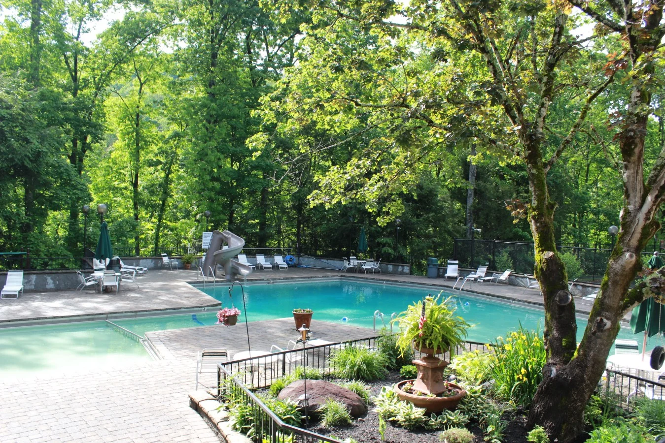
If you are planning a hiking-focused trip, Heavenly View puts you about 5 minutes from downtown Gatlinburg, with Laurel Falls Trail and Cataract Falls Trail on its nearby list and a private hot tub waiting after the climb. Check availability for your dates.
Content powered by inkSTR.co